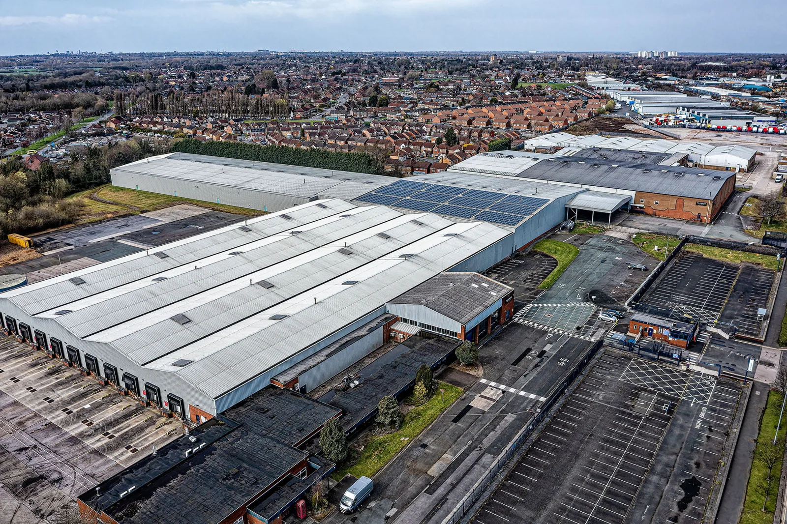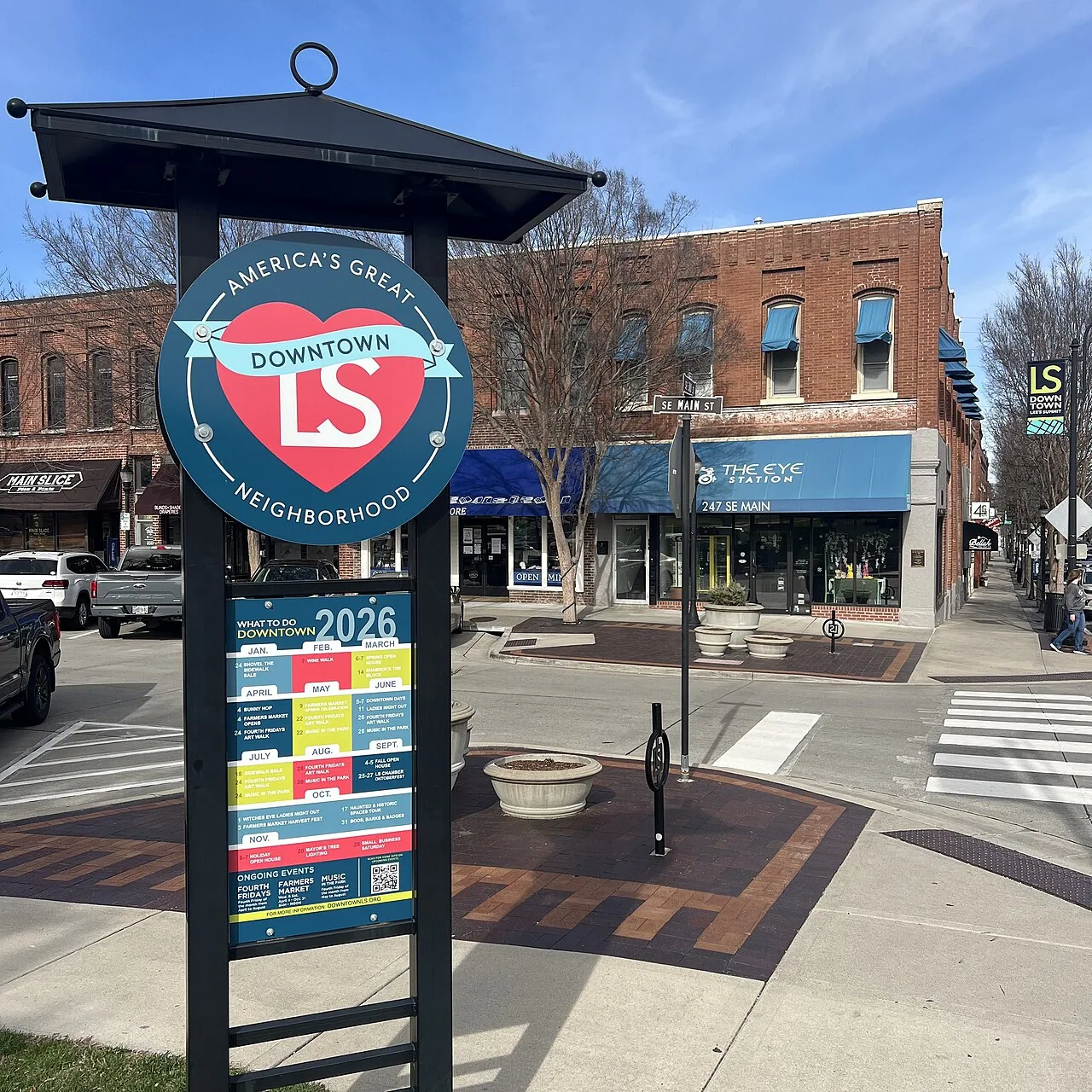

Drone imaging changes the order of a roof inspection: the aircraft goes up first, and the people climb second. For large or awkward roofs in Lee's Summit, MO, such as wide distribution roofs, tall parapeted buildings and steep metal panels, a drone pass produces a complete photographic record of the field, edges and equipment in a fraction of the time a foot survey takes. It also lets us look at areas that are unsafe to walk. Across Lee's Summit that includes buildings along the I-470 corridor and the commercial buildings of the downtown historic district, where roof edges can be difficult to reach from the ground.
The images are a tool, not the whole inspection. They show where to send a crew, what to measure and which details deserve a closer look. A drone cannot probe a seam or feel a soft spot underfoot, so the flight is paired with targeted hands-on checks wherever the images raise a question. The flight report lists those checks by location, so the crew goes straight to the roof detail in question.
Large low-slope roofs such as a warehouse roof are the clearest case. A roof that takes hours to cover on foot can be captured in a single flight plan, with overlapping images stitched into a map that the manager can zoom into. Standing seam metal, steep slopes and roofs with fragile skylights or weak decks are other cases where keeping people off the surface is the safer choice.
Drone work also helps after storms. A fast pass over a building along I-470 or US 50 can show lifted membrane, displaced coping, debris and impact marks without sending a crew onto a wet roof. The images guide the repair crew to the damage and help build the record for an insurer.
Before a flight, we check airspace and any restrictions near the property. The pilot confirms that the flight is permitted at the address and at the altitude required, and the manager is told the planned flight window. We also confirm property access, tenant notice, and where the pilot and a spotter will stand so that people are not under the aircraft.
Weather limits the schedule, and the plan names a backup day so tenants are not notified twice for a single flight. Wind, rain, low cloud and poor light degrade images or make the flight unsafe. Lee's Summit's July mean daily high is 88.3F, and midday glare on white membranes can wash out detail, so flights are planned for the hours when contrast is best.
A standard flight collects high-resolution overview images of the whole roof, close-ups of drains, curbs, penetrations and edges, and oblique views of parapets and walls. Where the roof is large, the images are stitched into an orthomosaic that can be measured, so areas of ponding, patching or damage are quantified rather than described.
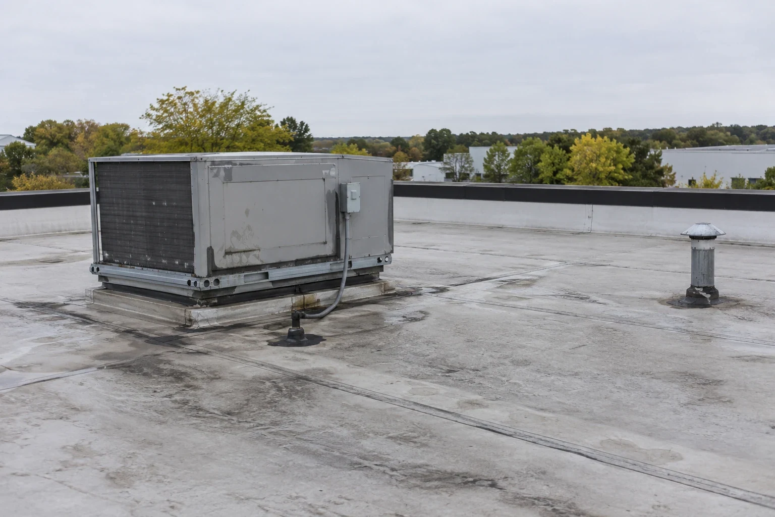
Visible conditions that drone images capture well include ponding stains, debris, blocked drains, open flashings, displaced coping, damaged skylights, corroded fasteners, and mechanical equipment condition. Each is tagged on the map so the roofing crew can find it from the roof access point, with a distance and bearing from the hatch or ladder.
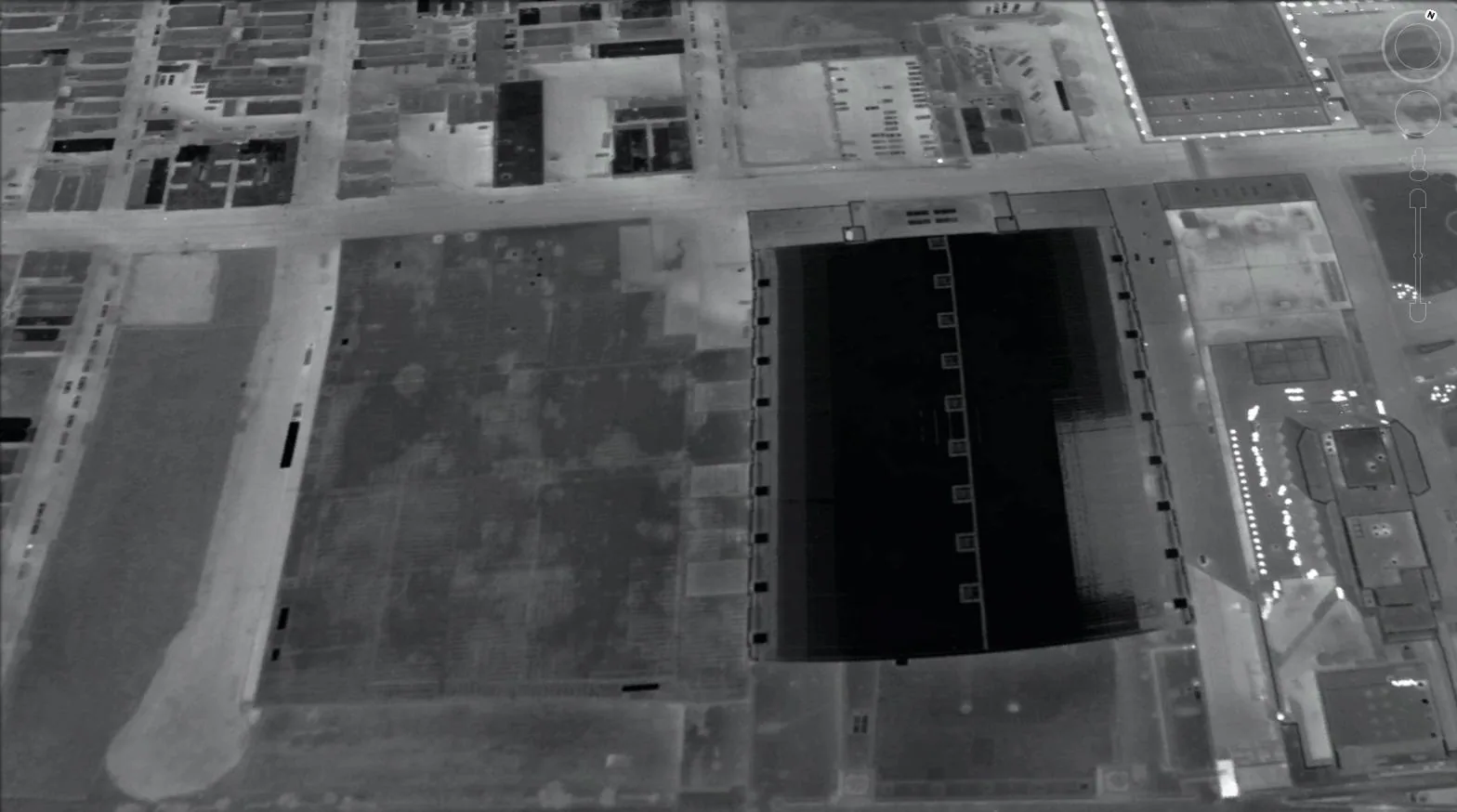
With a thermal camera, a drone can scan a roof for temperature differences that suggest trapped moisture. Wet insulation holds heat longer than dry insulation, so at dusk after a warm day wet areas stay warm while dry areas cool. The result is a thermal map that guides core cuts and shows the likely extent of a wet area, which in turn tells the manager whether a patch, a section replacement or a full reroof is the right scope.
Thermal images are an indicator, not a finding. Conditions such as shade, reflective surfaces, mechanical equipment exhaust and recent rain affect the readings, so we confirm suspected wet areas with cores or meters, as in an infrared moisture survey.
The images feed into a written report that sorts conditions by priority. Open seams and drainage problems are shown first, and long-term wear is shown with its extent so a manager can decide between repair, restoration and replacement. For a property with several buildings, the same flight pattern is repeated each year, so changes show up as clearly as new damage.
That repeatability is useful for portfolios, because a manager does not have to rely on memory or on a different contractor's description of what a roof looked like two years earlier. A manager responsible for several buildings in Lee's Summit, Raymore and Belton can compare the same view of each roof over time and spend repair money where the images show the most movement. Our roof asset management approach uses those records as a baseline.
Drone work does not replace the hands-on walk. Small punctures, soft decks, loose fasteners and sealant condition often need a person on the roof, and the drone flight tells us where to look first. For roofs with repeated leaks, we pair the flight with a hands-on inspection and, where needed, core cuts.
Image quality also has limits. Dark membranes in full sun, snow cover and heavy dust can obscure details, and we say so in the report rather than pretending to see through them. A dark membrane flown in the cooler, softer light of early morning shows more than the same roof at noon, so we choose the hour to match the surface. When the flight misses an area, we note it and plan a return visit or a foot survey.
On large, complex or steep roofs, where a foot survey takes hours and needs fall protection, a flight covers the same ground faster. The saving shows up in labor and in reduced risk. On a small, simple roof the difference is minor, and a direct walk may be the better route.
They are strong documentation of visible conditions, with dates and locations, and carriers and manufacturers often accept them alongside a written report. Claims for hidden conditions, such as wet insulation, usually need moisture checks too, so we pair the flight with those where the claim calls for it.
It cannot see water inside a roof, but it can show stains, ponding, open details and thermal patterns that point to a leak path. The leak itself is traced on the roof, using the images to narrow the search. The result is a shorter walk and a better chance of finding the entry point.
The flight is quiet compared with roof work and rarely affects the interior, but the manager is told when it will happen and where the pilot will stand. For buildings with sensitive operations, such as clinics or schools, we agree on timing and avoid flying over people.
We repeat the flight pattern and altitude, so the same frames line up year to year. The stitched map is overlaid with the previous one, and differences in ponding, patching, staining and damage stand out. That comparison turns a one-time record into a trend line.
Send the building list, roof sizes and any access limits. We will plan the flights, collect the images and return a mapped report with the conditions ranked.
Request a Roof Assessment